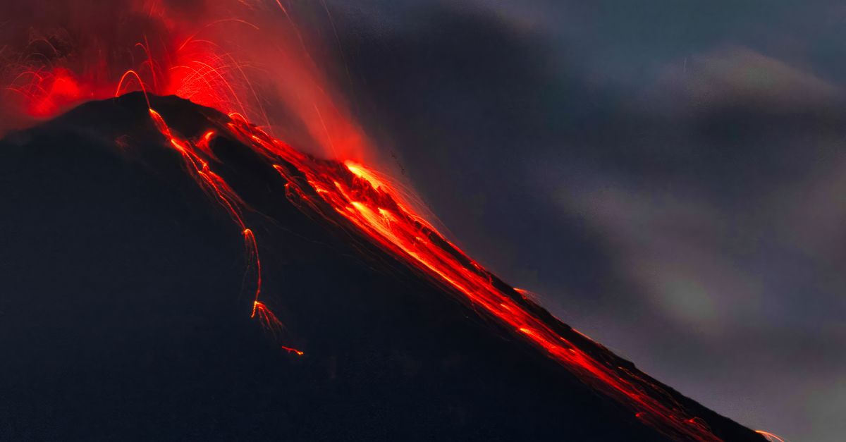
Why These Volcanoes Are Watched So Closely
The United States hosts more than 160 potentially active volcanoes, primarily concentrated in Alaska, the Pacific Northwest, California, and Hawaii. Many of them sit near populated areas, critical infrastructure, major air routes, and vital ecosystems. The U.S. Geological Survey (USGS) classifies volcanoes by threat level, considering factors such as eruption history, proximity to communities, and potential hazards including ashfall, lava flows, lahars, landslides, and volcanic gases.
Among them, eight volcanoes stand out as the most closely monitored due to their high hazard potential and complex behavior. Advanced monitoring networks—including seismic stations, GPS sensors, satellite imagery, gas measurements, and infrasound detectors—track even subtle changes in these volcanic systems.
1. Kilauea (Hawaii)
Location: Big Island of Hawaii
Volcano Type: Shield volcano
Kilauea ranks among the planet’s most active volcanoes. Because of its frequent eruptions, easily reachable lava flows, and nearness to populated areas, it remains a prime monitoring target. Over 700 residences were wiped out by the 2018 lower East Rift Zone eruption, which also transformed the coastline of the island. Alongside the creation of fresh land along the shore, lava fountains surged past 200 feet.
Kilauea is closely monitored because:
- It erupts frequently, often with little warning.
- It threatens residential communities and infrastructure.
- It produces volcanic gases such as sulfur dioxide that affect air quality.
The Hawaiian Volcano Observatory maintains dense seismic and deformation networks, allowing scientists to detect magma movement in near real time.
2. Mauna Loa (Hawaii)
Location: Big Island of Hawaii
Volcano Type: Shield volcano
Mauna Loa is the largest volcano on Earth by volume and area. Its 2022 eruption marked its first activity since 1984. Although eruptions tend to be less explosive than stratovolcanoes, Mauna Loa’s lava flows can travel rapidly and threaten communities within hours or days.
Key monitoring concerns include:
- Rapid lava flow advancement.
- Ground deformation indicating magma chamber inflation.
- Potential impact on transportation corridors.
Because of its colossal dimensions and record of vigorous flank eruptions, Mauna Loa warrants comprehensive geophysical monitoring.
3. Mount St. Helens (Washington)
Location: Southern WashingtonVolcano Type: Stratovolcano
The 1980 eruption of Mount St. Helens remains the deadliest and most economically destructive volcanic event in U.S. history. A massive landslide and lateral blast killed 57 people and caused over $1 billion in damages.
Since 1980, the volcano has experienced multiple dome-building eruptions, notably between 2004 and 2008. Because it has a proven record of explosive activity, scientists monitor it for:
- Seismic swarms signaling magma ascent.
- Dome growth and instability.
- Landslide and lahar potential.
Mount St. Helens is frequently regarded as the most thoroughly researched volcano across the United States.
4. Mount Rainier (Washington)
Location: Western WashingtonVolcano Type: Stratovolcano
Mount Rainier poses one of the greatest volcanic threats in the country—not necessarily because of eruption frequency, but due to its lahar risk. Large volumes of glacial ice and snow blanket the volcano. An eruption or even structural collapse could trigger massive mudflows.
More than 80,000 people live in valleys vulnerable to lahars from Rainier. Monitoring efforts focus on:
- Ground deformation.
- Earthquake swarms beneath the edifice.
- Lahar detection systems in river valleys.
Warning systems are engineered to deliver prompt notifications to populations living downstream.
5. Mount Hood (Oregon)
Location: Northern Oregon
Volcano Type: Stratovolcano
Mount Hood last experienced a major eruption in the late 18th century. Even though it is currently dormant, this volcano has a documented record of dome building and pyroclastic surges. Because it lies close to Portland, its hazard level is notably elevated.
Scientists monitor:
- Shifts in fumarole temperature.
- Seismic events recorded below the summit.
- Structural weakening caused by hydrothermal alteration.
Even moderate eruptions could disrupt regional air travel and infrastructure.
6. Mount Shasta (California)
Location: Northern California
Volcano Type: Stratovolcano
Over the past 10,000 years, Mount Shasta has erupted on average at least once every 800 years. Lava domes, pyroclastic flows, and lahars have been generated by this volcano. Hazard zones encompass nearby communities like Mount Shasta City and Weed.
Monitoring focuses on:
- Seismic unrest.
- Gas emissions.
- Ground uplift.
Its snow- and ice-covered slopes heighten lahar risks during future eruptions.
7. Lassen Volcanic Center (California)
Location: Northern California
Volcano Type: Complex volcanic system
Lassen Peak erupted between 1914 and 1917, producing explosive ash columns and lava flows. It remains the most recent eruption in the Cascade Range prior to Mount St. Helens in 1980.
Hydrothermal features, including boiling mud pots and fumaroles, indicate persistent heat beneath the surface. Scientists closely track:
- Thermal anomalies.
- Gas chemistry shifts.
- Seismic swarms.
Because volcanic systems can reactivate after long quiet periods, Lassen remains under constant surveillance.
8. Redoubt Volcano (Alaska)
Location: South-central Alaska
Volcano Type: Stratovolcano
Alaska contains more than half of the nation’s active volcanoes. Redoubt stands out because of its explosive history and aviation hazards. The 1989–1990 eruption caused a commercial jet to temporarily lose power after flying through an ash cloud. The 2009 eruption disrupted air traffic and oil operations.
Ash clouds from Redoubt can reach over 50,000 feet, threatening trans-Pacific and North American flight routes. Monitoring includes:
- Seismic networks in remote terrain.
- Satellite ash tracking.
- Real-time aviation alerts.
Given Alaska’s bustling aviation corridors, prompt identification proves critical.
How Monitoring Protects Communities
Modern volcano monitoring integrates multiple technologies:
- Seismology: Detects magma movement and fracturing rock.
- GPS and InSAR: Measure ground deformation with millimeter precision.
- Gas sensors: Track sulfur dioxide and carbon dioxide emissions.
- Thermal imaging: Identifies heat changes at the surface.
- Lahar detection systems: Provide automated warnings.
Alert levels are communicated using standardized color codes and hazard advisories. Coordination among federal, state, and local agencies ensures that evacuation plans and public communication strategies are ready when unrest increases.
The Broader Significance of Vigilance
These eight volcanoes represent diverse volcanic styles—from fluid basaltic shield eruptions in Hawaii to explosive stratovolcanoes in the Cascades and Alaska. Their monitoring reflects lessons learned from past disasters, advances in earth science, and the reality that volcanic hazards intersect with growing populations, aviation networks, and economic systems.
Continuous observation does more than forecast eruptions; it enhances our scientific comprehension of magma migration, pressure accumulation, and landscape evolution. Persistent vigilance converts erratic natural forces into controllable hazards, strengthening the harmony between residing near dynamic geological features and acknowledging their colossal strength.